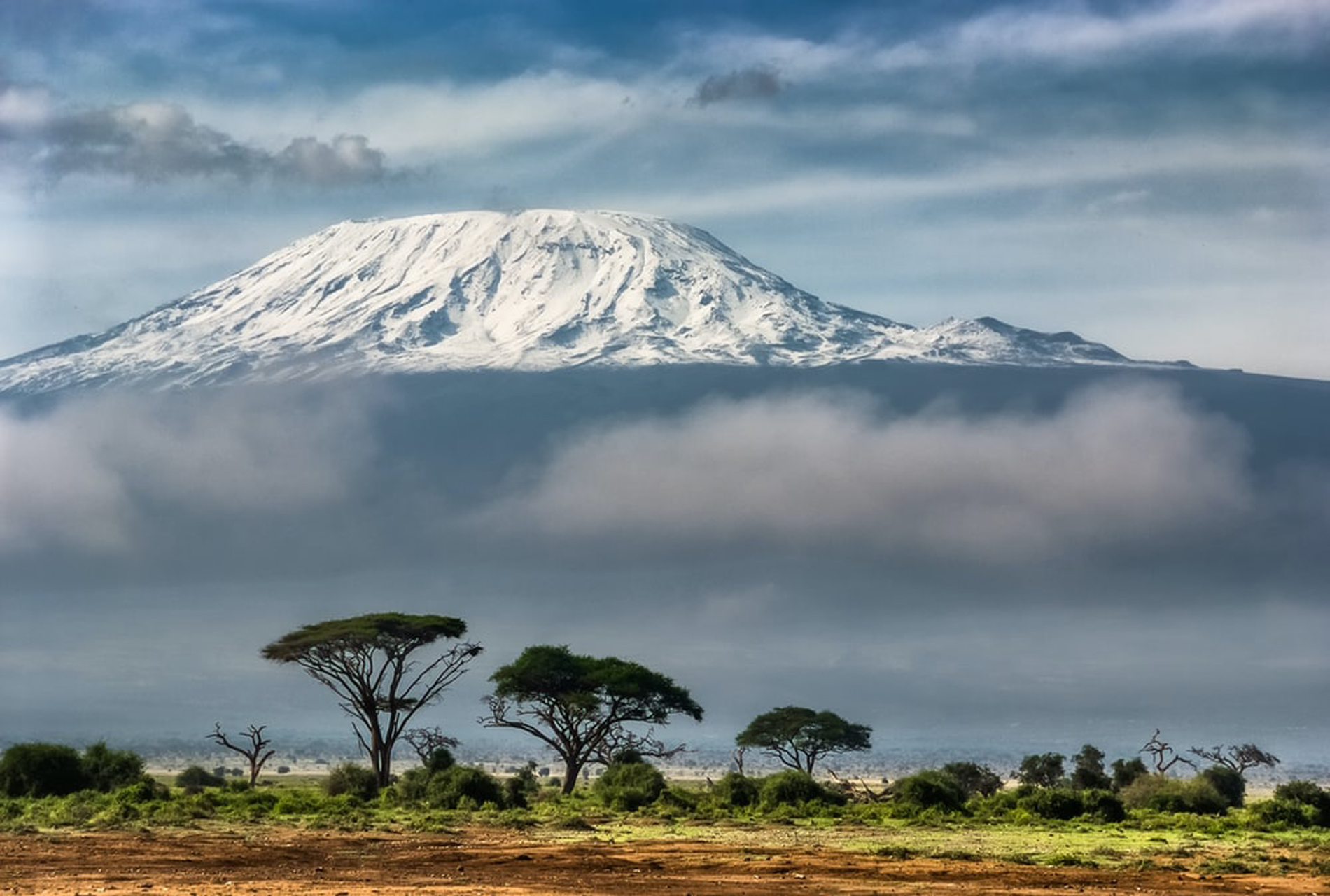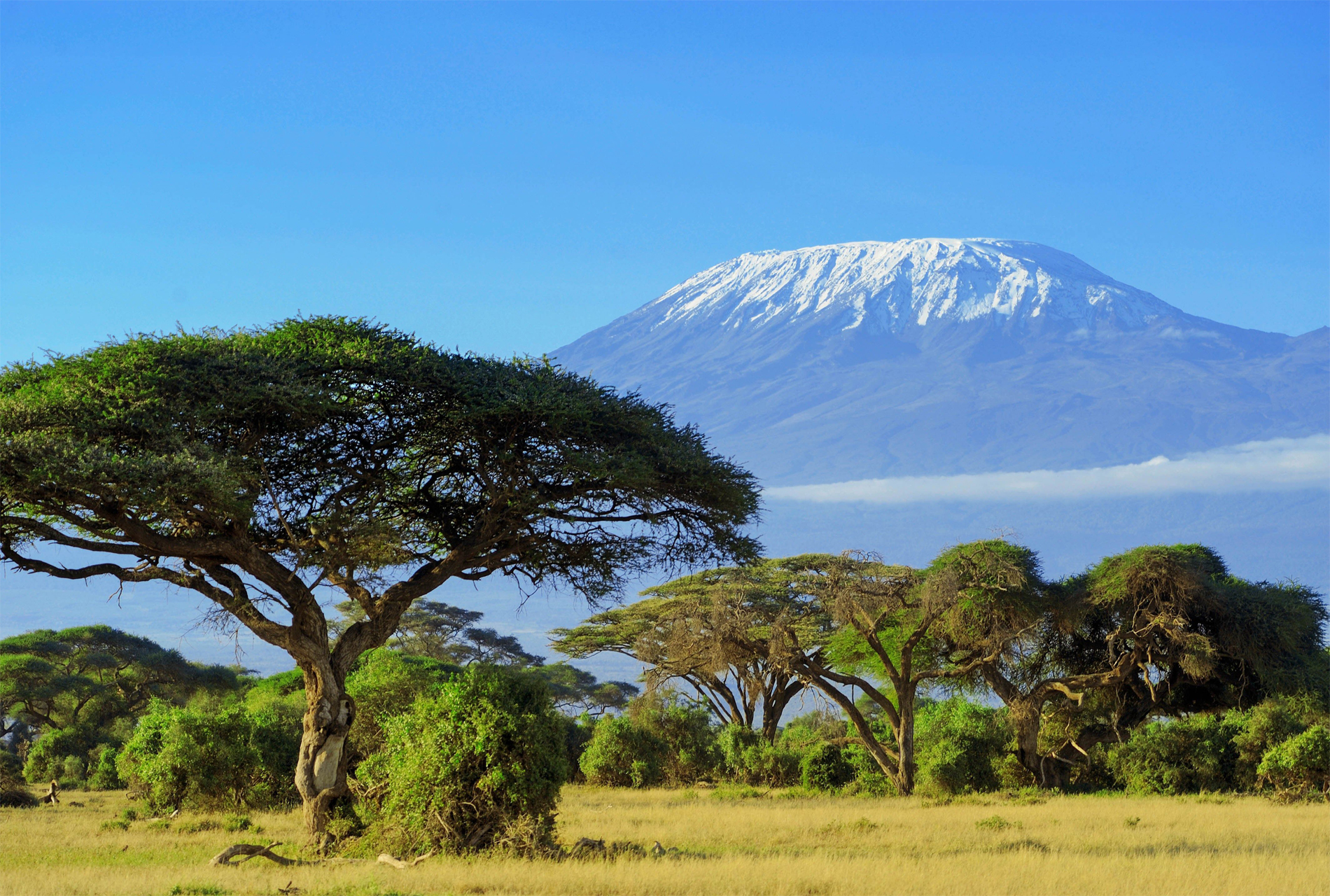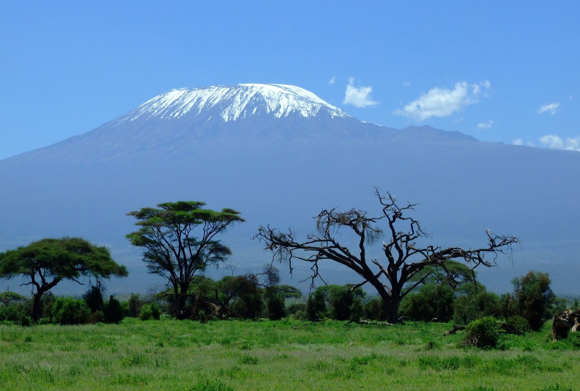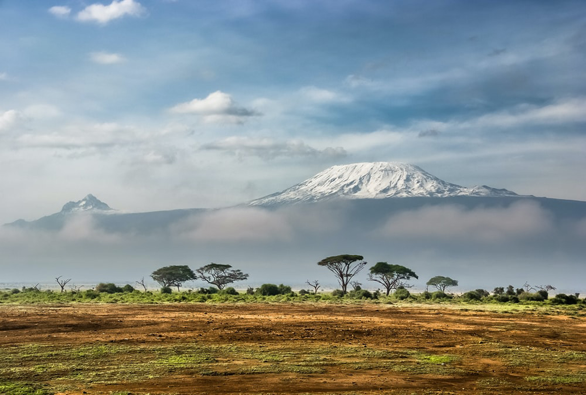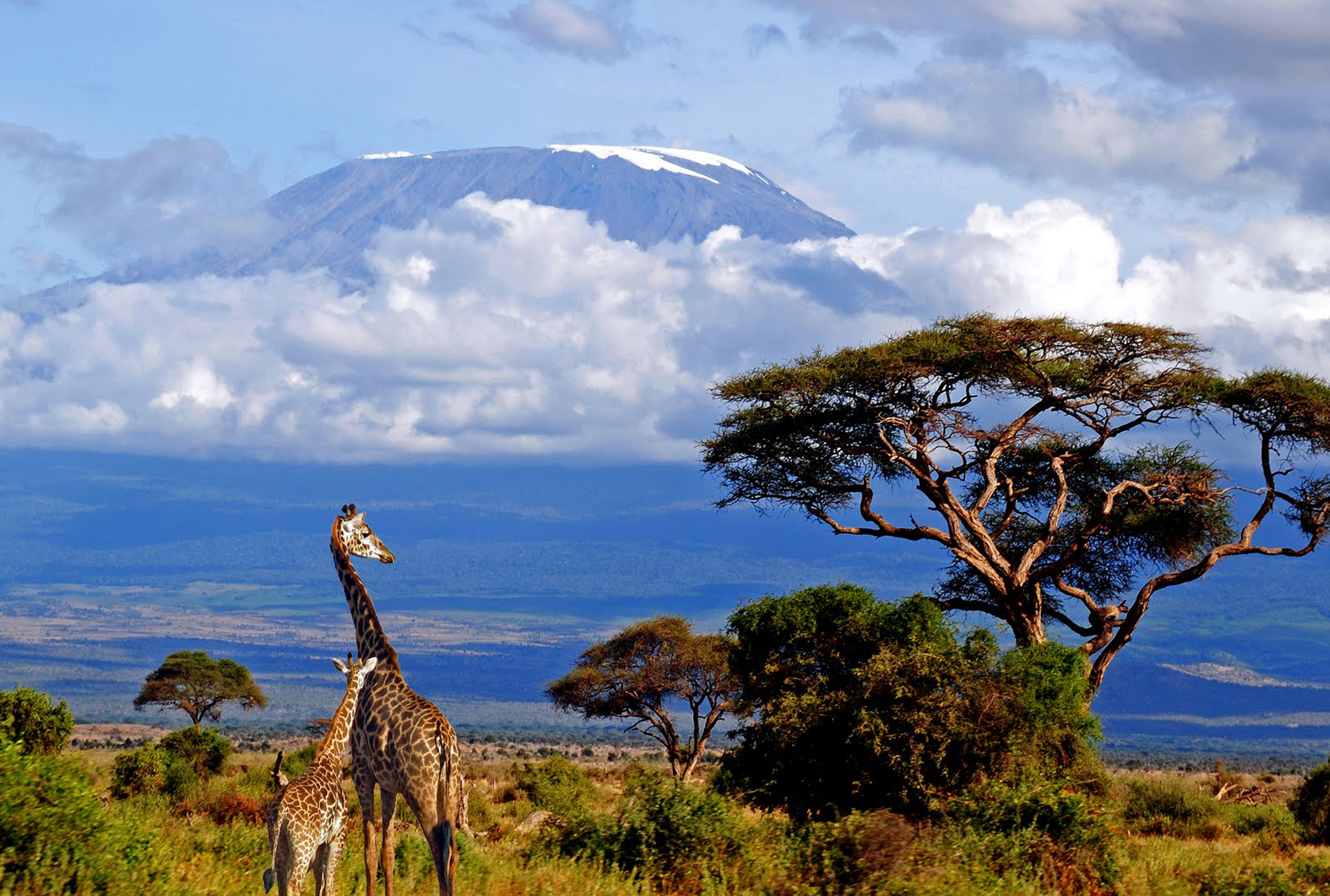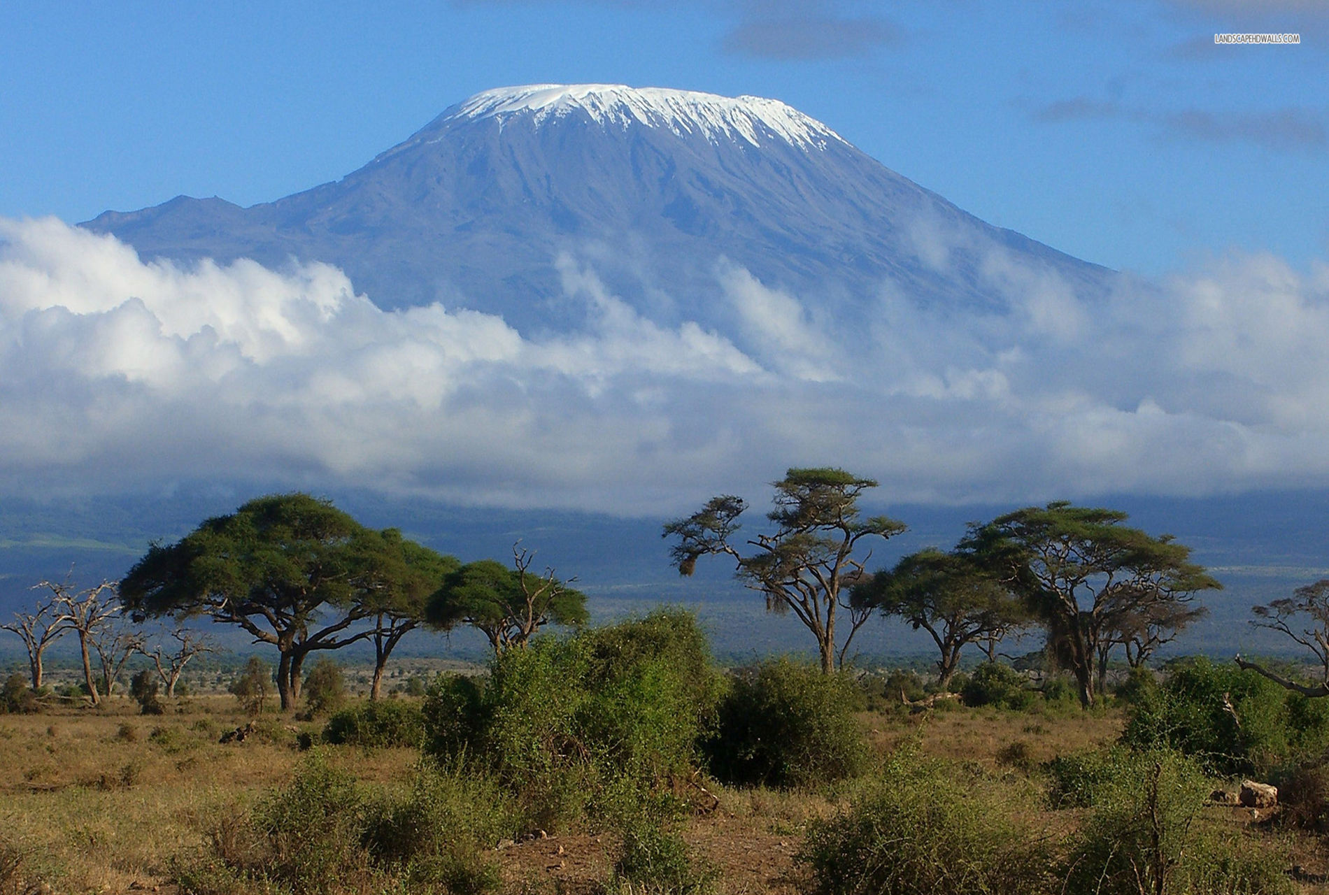
Kilimanjaro is a large dormant stratovolcano composed of three distinct volcanic cones: Kibo, the highest; Mawenzi at 5,149 metres (16,893 ft); and Shira, the lowest at 4,005 metres (13,140 ft). Mawenzi and Shira are extinct, while Kibo is dormant and could erupt again. Uhuru Peak is the highest summit on Kibo's crater rim. The Tanzania National Parks Authority, a Tanzanian government agency, and the United Nations Educational, Scientific and Cultural Organization[ lists the height of Uhuru Peak as 5,895 m (19,341 ft), based on a British survey in 1952 The height has since been measured as 5,892 metres (19,331 ft) in 1999, 5,902 metres (19,364 ft) in 2008, and 5,899 metres (19,354 ft) in 2014 A map of the Kibo cone on Mount Kilimanjaro was published by the British government's Directorate of Overseas Surveys (DOS) in 1964 based on aerial photography conducted in 1962 as the "Subset of Kilimanjaro, East Africa (Tanganyika) Series Y742, Sheet 56/2, D.O.S. 422 1964, Edition 1, Scale 1:50,000".Tourist mapping was first published by the Ordnance Survey in England in 1989 based on the original DOS mapping at a scale of 1:100,000, with 100 feet (30 m) contour intervals, as DOS 522. West Col Productions produced a map with tourist information in 1990, at a scale of 1:75,000, with 100 metres (330 ft) contour intervals; it included inset maps of Kibo and Mawenzi on 1:20,000 and 1:30,000 scales respectively and with 50 metres (160 ft) contour intervals In recent years, numerous other maps have become available, of various qualities. The volcanic interior of Kilimanjaro is poorly known because there has not been any significant erosion to expose the igneous strata that comprise the volcano's structure Eruptive activity at the Shira centre commenced about 2.5 million years ago, with the last important phase occurring about 1.9 million years ago, just before the northern part of the edifice collapsedShira is topped by a broad plateau at 3,800 metres (12,500 ft), which may be a filled caldera. The remnant caldera rim has been degraded deeply by erosion. Before the caldera formed and erosion began, Shira might have been between 4,900 and 5,200 m (16,100 and 17,100 ft) high. It is mostly composed of basic lavas, with some pyroclastics. The formation of the caldera was accompanied by lava emanating from ring fractures, but there was no large scale explosive activity. Two cones formed subsequently, the phonolitic one at the northwest end of the ridge and the doleritic Platzkegel in the caldera centre Both Mawenzi and Kibo began erupting about 1 million years ago They are separated by the Saddle Plateau at 4,400 metres (14,400 ft) elevation. The youngest dated rocks at Mawenzi are about 448,000 years old.Mawenzi forms a horseshoe-shaped ridge with pinnacles and ridges opening to the northeast, with a tower-like shape resulting from deep erosion and a mafic dike swarm. Several large cirques cut into the ring. The largest of these sits on top of the Great Barranco gorge. Also notable are the East and West Barrancos on the northeastern side of the mountain. Most of the eastern side of the mountain has been removed by erosion. Mawenzi has a subsidiary peak, Neumann Tower, 4,425 metres (14,518 Kibo is the largest cone on the mountain and is more than 24 km (15 mi) wide at the Saddle Plateau altitude. The last activity here, dated to 150,000–200,000 years ago, created the current Kibo summit crater. Kibo still has gas-emitting fumaroles in its crater. Kibo is capped by an almost symmetrical cone with escarpments rising 180 to 200 metres (590 to 660 ft) on the south side. These escarpments define a 2.5-kilometre-wide (1.6 mi) calderacaused by the collapse of the summit. Within this caldera is the Inner Cone and within the crater of the Inner Cone is the Reusch Crater, which the Tanganyika government in 1954 named after Gustav Otto Richard Reusch, upon his climbing the mountain for the 25th time (out of 65 attempts during his lifetime). The Ash Pit, 350 metres (1,150 ft) deep, lies within the Reusch Crater. About 100,000 years ago, part of Kibo's crater rim collapsed, creating the area known as the Western Breach and the Great Barranco An almost continuous layer of lava buries most older geological features, with the exception of exposed strata within the Great West Notch and the Kibo Barranco. The former exposes intrusions of syenite Kibo has five main lava formations
| 1 | old name | : | Kilima-Ndscharo | ||
|---|---|---|---|---|---|
| 2 | Age of rock | : | 4 million years | ||
| 3 | Mountain type | : | Stratovolcano | ||
| 4 | Length | : | 23 miles (37 kilometers). | ||
| 5 | Height | : | 5,895 m | ||
| 6 | Width | : | 40 km across |
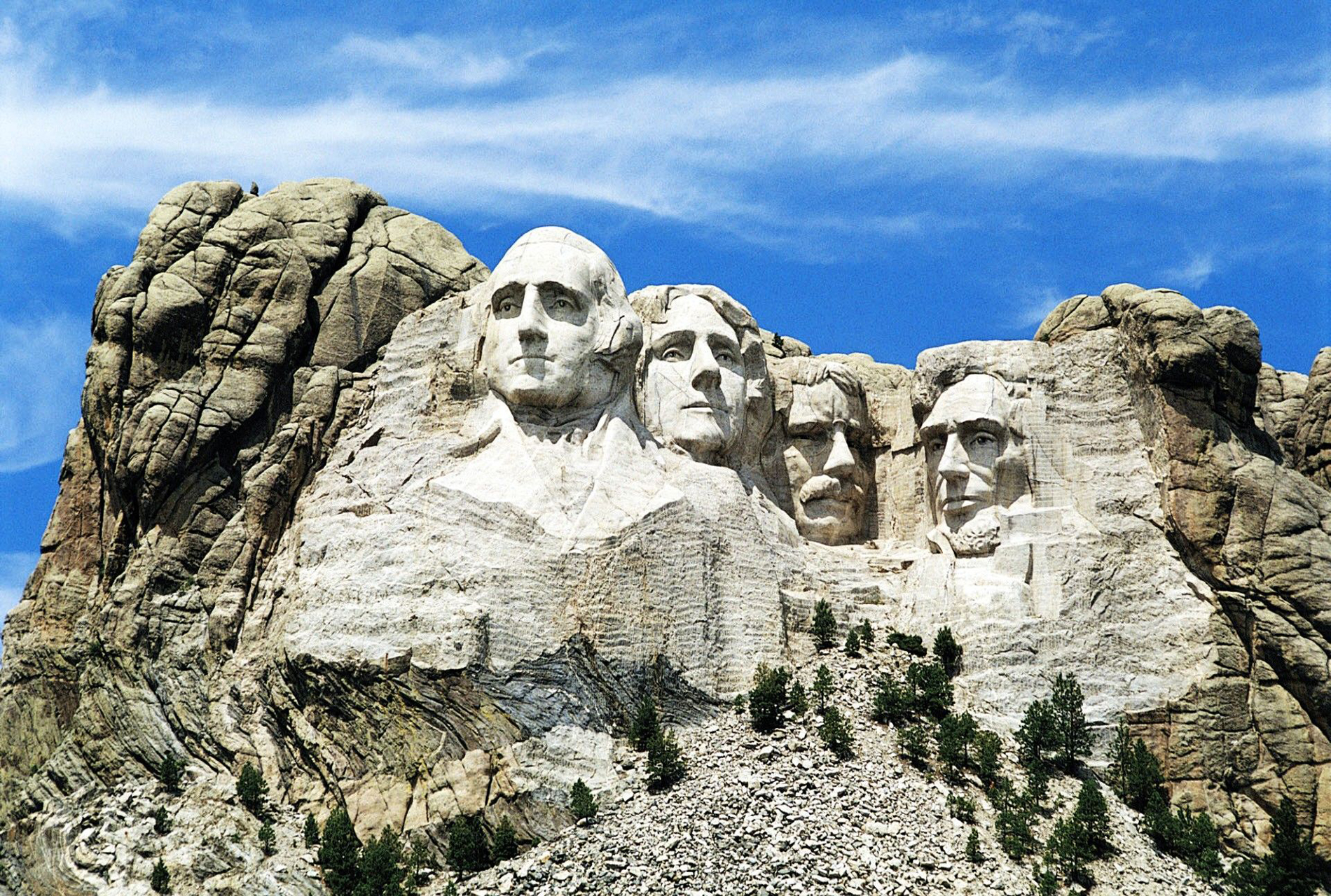
Mount Rushmore National Memorial is centered on a colossal sculpture carved into the granite face of Mount Rushmore (Lakota: Tȟuŋkášila Šákpe, or Six Grandfathers in the Black Hills near Keystone, South Dakota. Sculptor Gutzon Borglum created the sculpture's design and oversaw the project's execution from 1927 to 1941 with the help of his son, Lincoln BorglumThe sculpture features the 60-foot (18 m) heads of Presidents George Washington (1732–1799), Thomas Jefferson (1743–1826), .
Read More