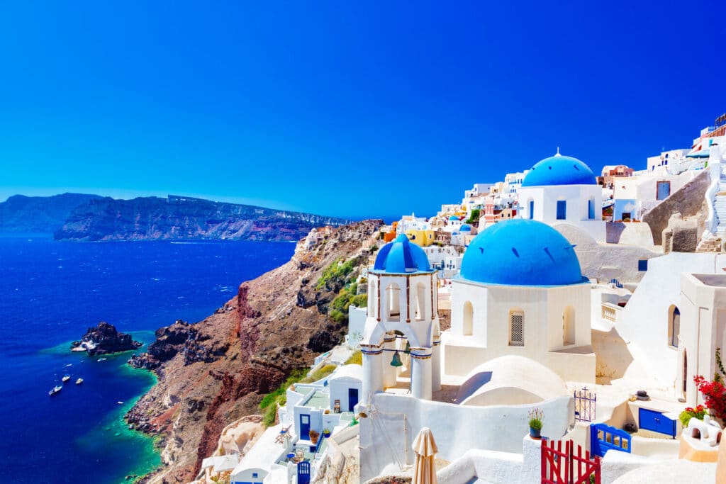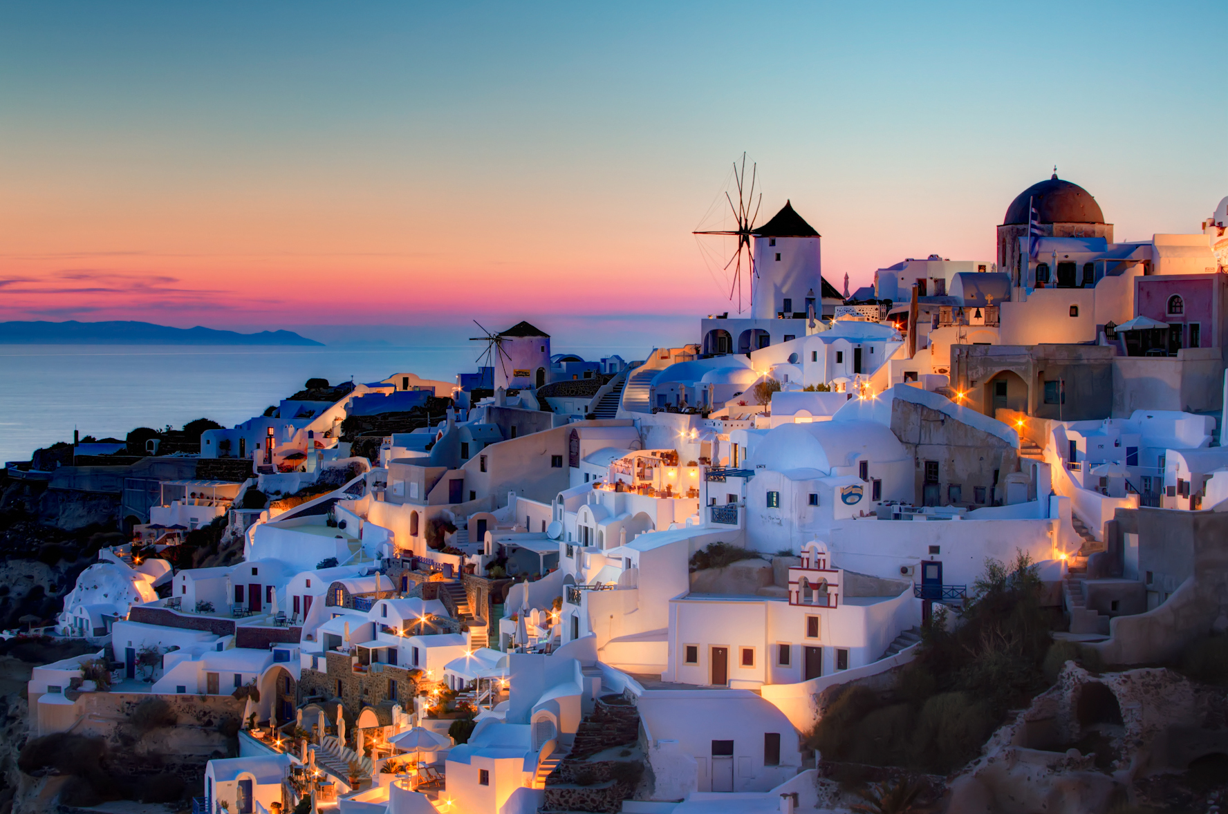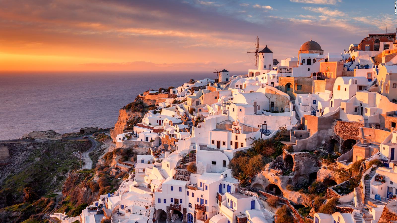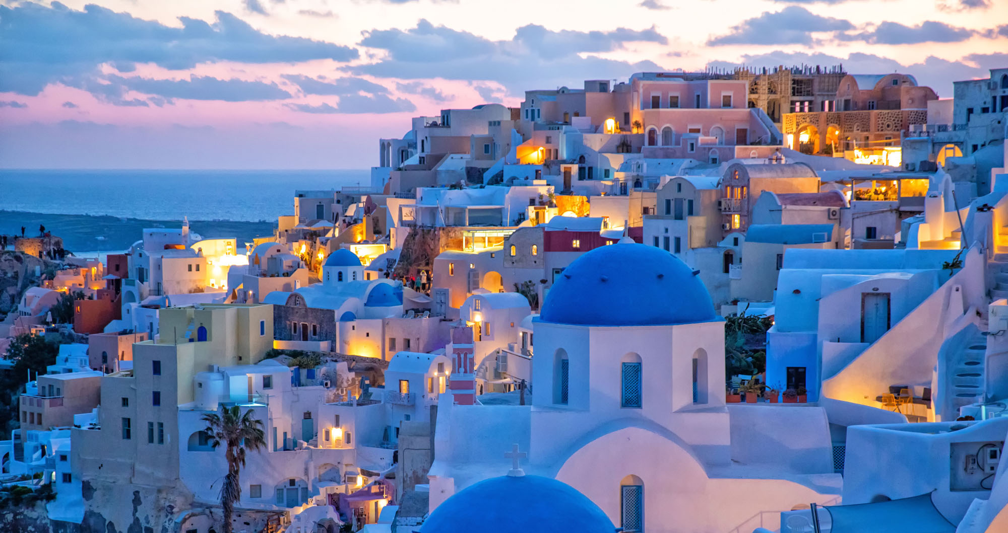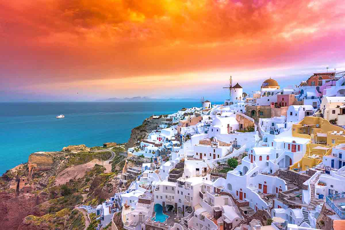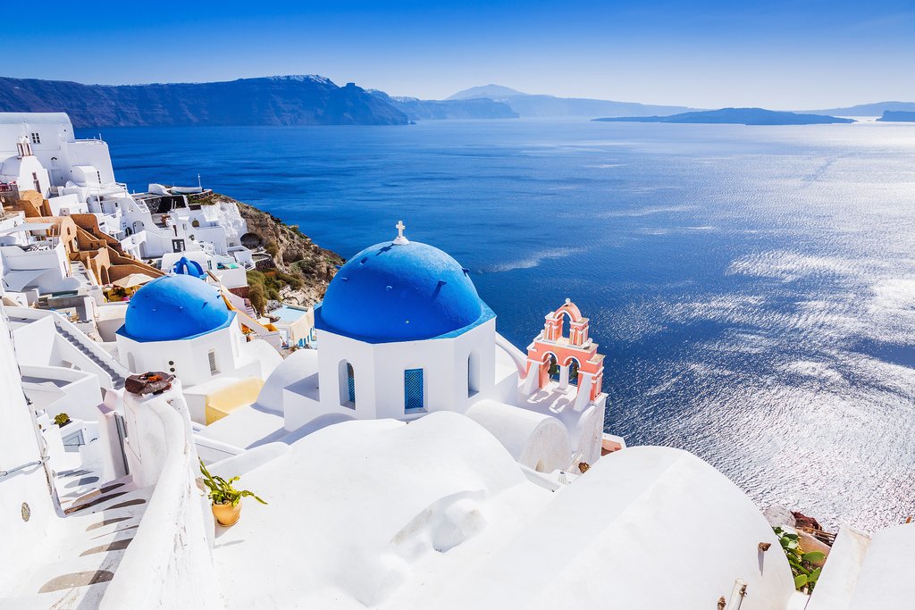
Santorini (Greek: Σαντορίνη, pronounced [sandoˈrini]), officially Thira (Greek: Θήρα [ˈθira]) and classic Greek Thera (English pronunciation /ˈθɪərə/), is an island in the southern Aegean Sea, about 200 km (120 mi) southeast from the Greek mainland. It is the largest island of a small, circular archipelago, which bears the same name and is the remnant of a caldera. It forms the southernmost member of the Cyclades group of islands, with an area of approximately 73 km2 (28 sq mi) and a 2011 census population of 15,550. The municipality of Santorini includes the inhabited islands of Santorini and Therasia, as well as the uninhabited islands of Nea Kameni, Palaia Kameni, Aspronisi and Christiana. The total land area is 90.623 km2 (34.990 sq mi). Santorini is part of the Thira regional unit The island was the site of one of the largest volcanic eruptions in recorded history: the Minoan eruption (sometimes called the Thera eruption), which occurred about 3,600 years ago at the height of the Minoan civilization. The eruption left a large caldera surrounded by volcanic ash deposits hundreds of metres deep. It may have led indirectly to the collapse of the Minoan civilization on the island of Crete, 110 km (68 mi) to the south, through a gigantic tsunami. Another popular theory holds that the Thera eruption is the source of the legend of Atlantis. It is the most active volcanic centre in the South Aegean Volcanic Arc, though what remains today is chiefly a water-filled caldera. The volcanic arc is approximately 500 km (300 mi) long and 20 to 40 km (12 to 25 mi) wide. The region first became volcanically active around 3–4 million years ago, though volcanism on Thera began around 2 million years ago with the extrusion of dacitic lavas from vents around Akrotiri. Excavations starting in 1967 at the Akrotiri site under the late Professor Spyridon Marinatos have made Thera the best-known Minoan site outside of Crete, homeland of the culture. The island was not known as Thera at this time. Only the southern tip of a large town has been uncovered, yet it has revealed complexes of multi-level buildings, streets, and squares with remains of walls standing as high as eight metres, all entombed in the solidified ash of the famous eruption of Thera. The site was not a palace-complex as found in Crete, but neither was it a conglomeration of merchants' warehousing, as its excellent masonry and fine wall-paintings show. A loom-workshop suggests organized textile weaving for export. This Bronze Age civilization thrived between 3000 and 2000 BC, reaching its peak in the period between 2000 and 1630 BC Many of the houses in Akrotiri are major structures, some of them three stories high. Its streets, squares, and walls were preserved in the layers of ejecta, sometimes as tall as eight metres, indicating this was a major town. In many houses stone staircases are still intact, and they contain huge ceramic storage jars (pithoi), mills, and pottery. Noted archaeological remains found in Akrotiri are wall paintings or frescoes, which have kept their original colour well, as they were preserved under many metres of volcanic ash. The town also had a highly developed drainage system and, judging from the fine artwork, its citizens were clearly sophisticated and relatively wealthy people. Pipes with running water and water closets found at Akrotiri are the oldest such utilities discovered pipes run in twin systems, indicating that Therans used both hot and cold water supplies; the origin of the hot water probably was geothermic, given the volcano's proximity. The dual pipe system, the advanced architecture, and the apparent layout of the Akrotiri find resemble Plato's description of the legendary lost city of Atlantis, according to Charles Pellegrino further indicates the Minoans as the culture which primarily inspired the Atlantis legend.
| 1 | material | : | volcanic dust, black igneous rock, red rock and pumice stone. | |||
|---|---|---|---|---|---|---|
| 2 | Old | : | 1650 years old | |||
| 3 | Area | : | 76.19 km² | |||
| 4 | Length | : | 18 km | |||
| 5 | Height | : | (480 m.) | |||
| 6 | Width | : | 2-6 kilometres |
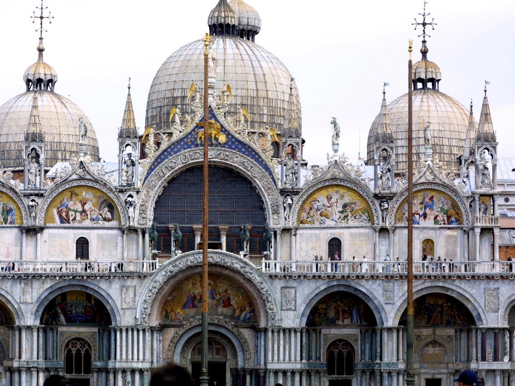
The church is located on the eastern end of Saint Mark's Square, the former political and religious centre of the Republic of Venice, and is attached to the Doge's Palace. Prior to the fall of the republic in 1797.
Read More