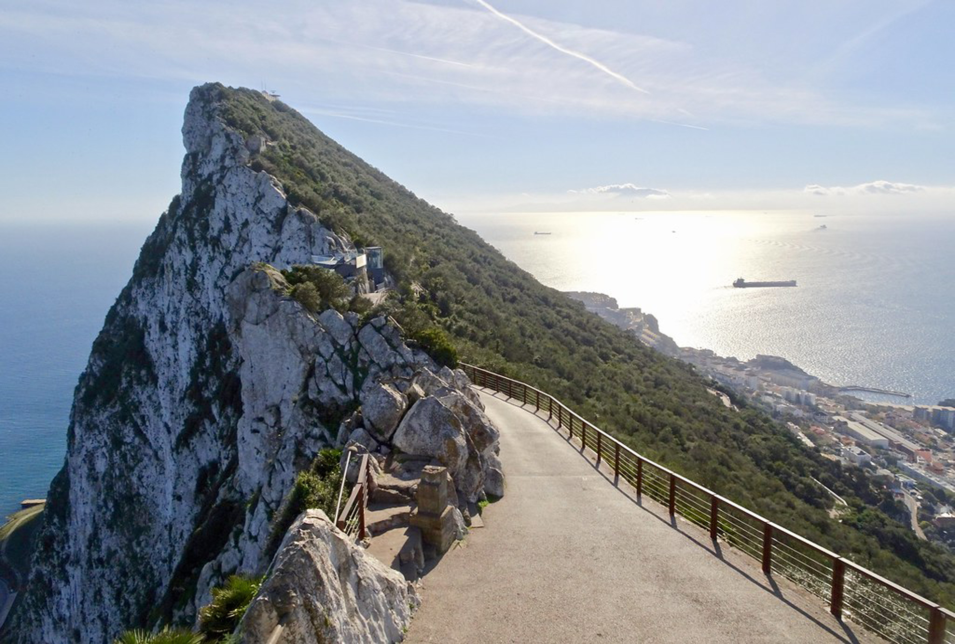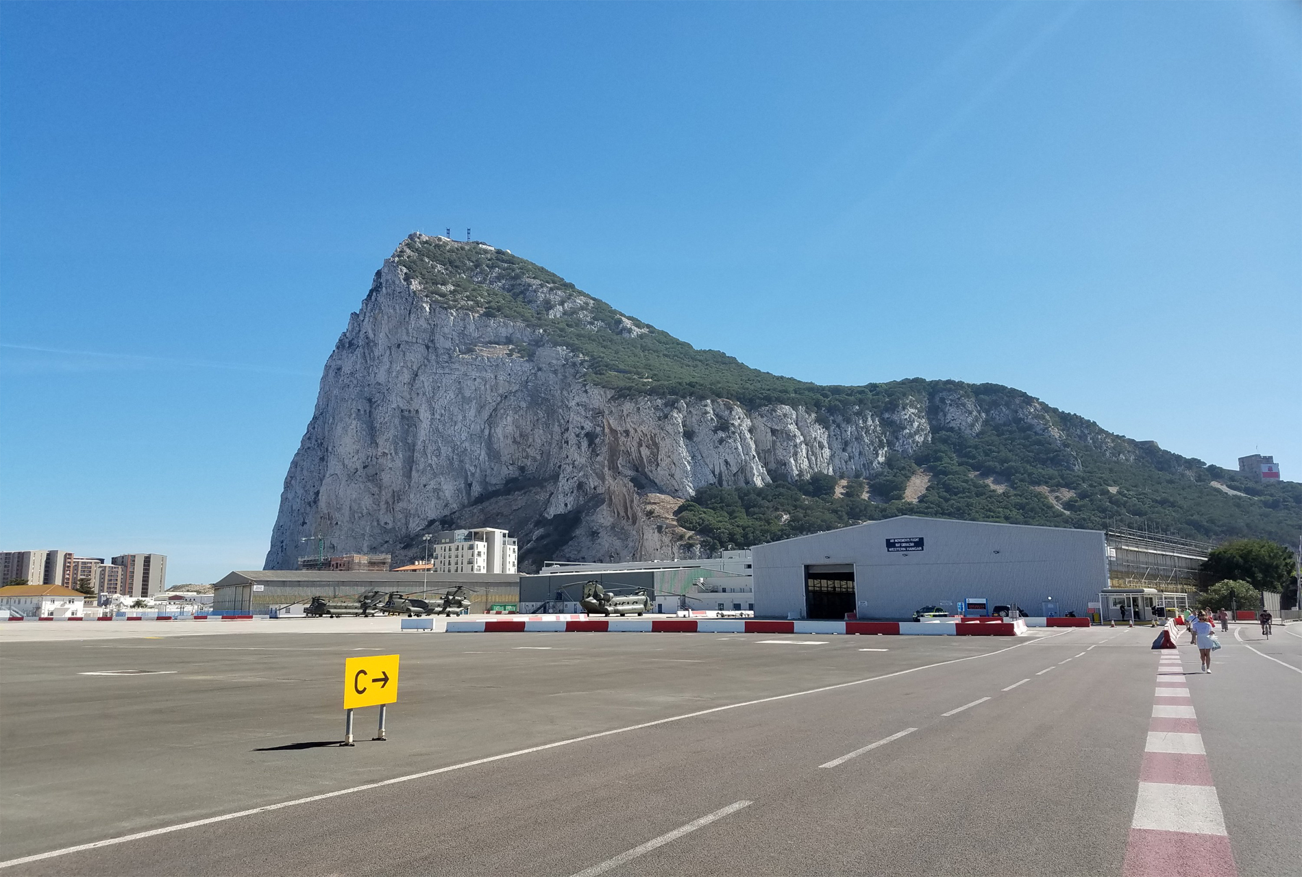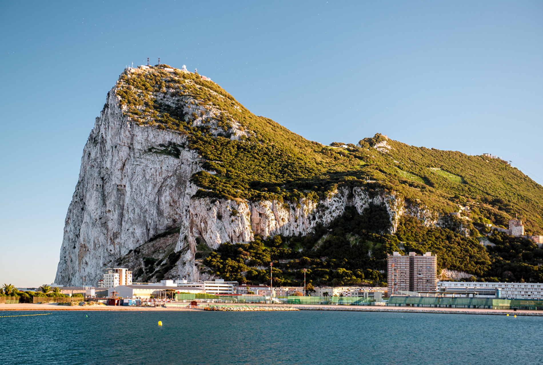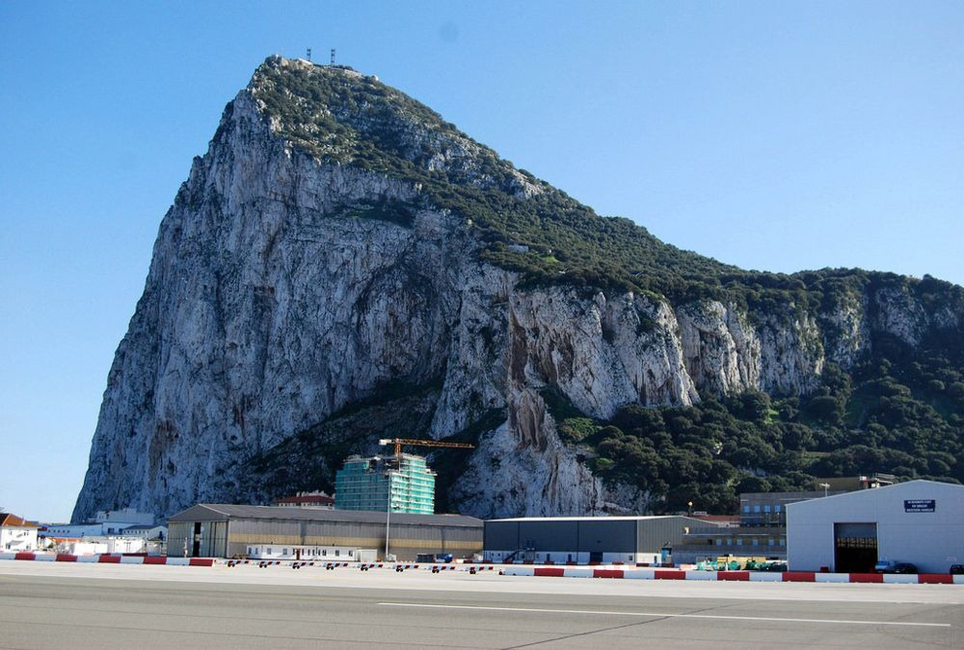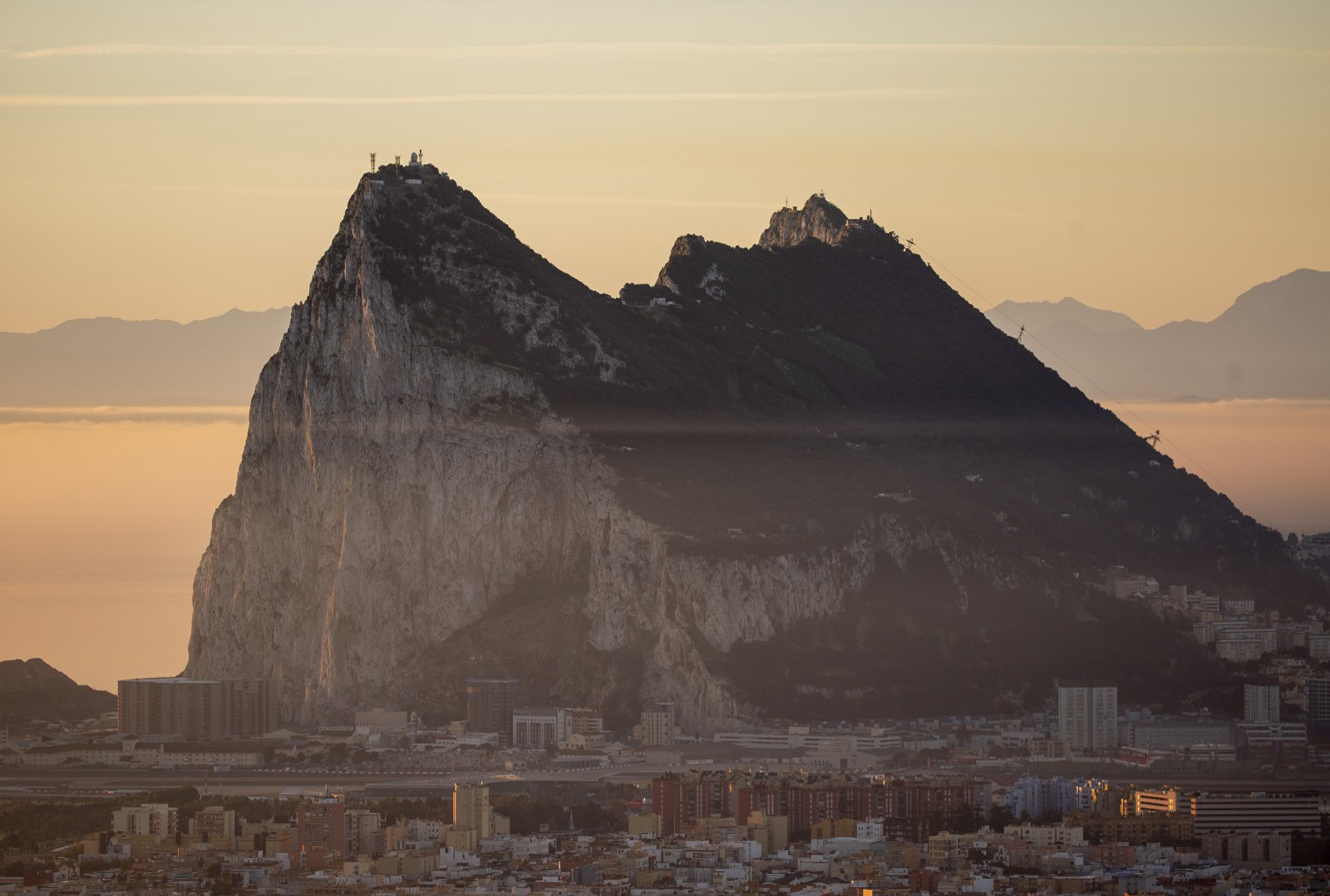
The Rock of Gibraltar (from the Arabic name Jabel-al-Tariq) is a monolithic limestone promontory located in the British territory of Gibraltar, near the southwestern tip of Europe on the Iberian PeninsulaIt is 426 m (1,398 ft) high. Most of the Rock's upper area is covered by a nature reserve, which is home to around 300 Barbary macaques. These macaques, as well as a labyrinthine network of tunnels, attract many tourists each year. The Rock of Gibraltar, one of the two traditional Pillars of Hercules, was known to the Romans as Mons Calpe, the other pillar being Mons Abila, either Monte Hacho or Jebel Musa on the African side of the Strait. According to ancient myths fostered by the Greeks and the Phoeniciansand later perpetuated by the Romansthe two points marked the limit to the known world; although the Phoenicians had actually sailed beyond this point into the Atlantic, both northward and southwar. The Mediterranean Sea surrounds Gibraltar The Rock of Gibraltar is a monolithic promontory. The Main Ridge has a sharp crest with peaks over 400 m above sea level, formed by Early Jurassic limestones and dolomitesIt is a deeply eroded and highly faulted limb of an overturned fold. The sedimentary strata composing the Rock of Gibraltar are overturned, with the oldest strata overlying the youngest strata. These strata are the Catalan Bay Shale Formation (youngest), Gibraltar Limestone, Little Bay Shale Formation (oldest), and Dockyard Shale Formation (age unknown). These strata are noticeably faulted and deformed Predominantly of shale, the Catalan Bay Shale Formation also contains thick units composed of either brown calcareous sandstone, soft shaly sandstone interbedded with bluish-black limestone, and interlayered greenish-gray marls and dark gray cherts. The Catalan Bay Shale Formation contains unidentifiable echinoid spines and belemnite fragments and infrequent Early Jurassic (Middle Lias) ammonites The Gibraltar limestone consists of greyish-white or pale-gray compact, and sometime finely crystalline, medium to thick bedded limestones and dolomites that locally contain chert seams. This formation comprises about three quarters of the Rock of Gibraltar. Geologists have found various poorly preserved and badly eroded and rolled marine fossils within it. The fossils found in the Gibraltar limestone include various brachiopods, corals, echinoid fragments, gastropods, pelecypods, and stromatolites. These fossils indicate an Early Jurassic age (Lower Lias) for the deposition of the Gibraltar limestone The Little Bay and Dockyard shale formations form a very minor part of the Rock of Gibraltar. The Little Bay Shale Formation consists of dark bluish-gray, unfossiliferous shale, which is interbedded with thin layers of grit, mudstone, and limestone. It predates the Gibraltar limestone. The Dockyard Shale Formation is an undescribed variegated shale of unknown age that lies buried beneath the Gibraltar's dockyard and coastal protection structures Although these geological formations were deposited during the early part of the Jurassic Period some 175-200million years ago, their current appearance is due to far more recent events of about 5 million years ago. When the African tectonic plate collided tightly with the Eurasian plate, the Mediterranean became a lake that, over the course of time, dried up during the Messinian salinity crisis. The Atlantic Ocean then broke through the Strait of Gibraltar, and the resultant flooding created the Mediterranean Sea. The Rock forms part of the Betic Cordillera, a mountain range that dominates southeastern Iberia
| 1 | old name | : | Mons Calpe | |||
|---|---|---|---|---|---|---|
| 2 | Old | : | 55 million years ago | |||
| 3 | location | : | Iberian Peninsula | |||
| 4 | Length | : | 3 miles (5 km) | |||
| 5 | Height | : | 426 m | |||
| 6 | Width | : | 8 miles (13 km) |

Santorini (Greek: Σαντορίνη, pronounced [sandoˈrini]), officially Thira (Greek: Θήρα [ˈθira]) and classic Greek Thera (English pronunciation /ˈθɪərə/), is an island in the southern Aegean Sea, about 200 km .
Read More